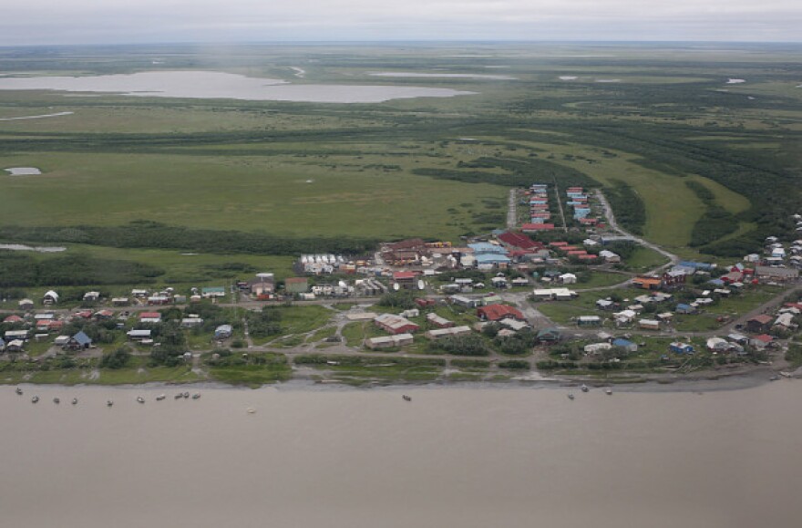
The National Weather Service is warning residents along the Kuskokwim River about flooding Friday.
The Weather Service began flying its annual river watch crew along the river on Thursday. Hydrologist Celine Van Breukelen was in the plane and warned all Kuskokwim communities to prepare for flooding.
“I’ve been flying river watch for the past nine years, and I haven’t seen water this high. Especially not associated with a breakup front,” she said.
That high water, combined with this year’s thick ice, increases the likelihood for flooding. River ice shoved onto shore in Kalskag this week measured 3 feet thick. If the ice jams, the river doesn’t have any room to absorb the water that pools behind it. And there’s still more water coming down.
“There’s still a lot of local snow that needs to melt in the upper Kusko,” Van Breukelen noted.
On Wednesday, Van Breukelen said that she saw high water flowing through the Kuskokwim River tributaries and filling the surrounding lakes. She also reported open water upstream of Napaimute. Between Aniak and Lower Kalskag, she reported shifting ice and some open water. From Lower Kalskag to Bethel, she reported strong, in-place ice.
Van Breukelen advised river residents to prepare for flooding by creating an evacuation plan, securing loose items around the house, and moving valuable items like snowmachines to higher ground.
An ice jam downstream of Napaimute broke free around 2:30 p.m. Thursday, according to Aniak resident Dave Cannon. Just before the rupture occurred, Cannon described the Kuskokwim ice shifting in front of Aniak during KYUK’s afternoon river update. A huge ice pan moved downstream with six pressure ridges on it, and large chunks of ice were flowing down Aniak Slough, he said.
While Cannon was talking on the radio, a big chunk of ice started to climb the dike along the community. Aniak has reinforced the dike to help it survive breakup, although it is not designed to keep water out. Cannon later noted that the ice chunk looked like it was about to break up. He also said that there was a lot of driftwood in the ice.
Sleetmute and Crooked Creek seem to have escaped any major flooding this year, although there are still some ice dams above Stony River. The last big flood in Aniak occured in 2002. Cannon said that conditions this year are looking similar to what he remembered from back then, and that the community was about to have some “interesting times.”

