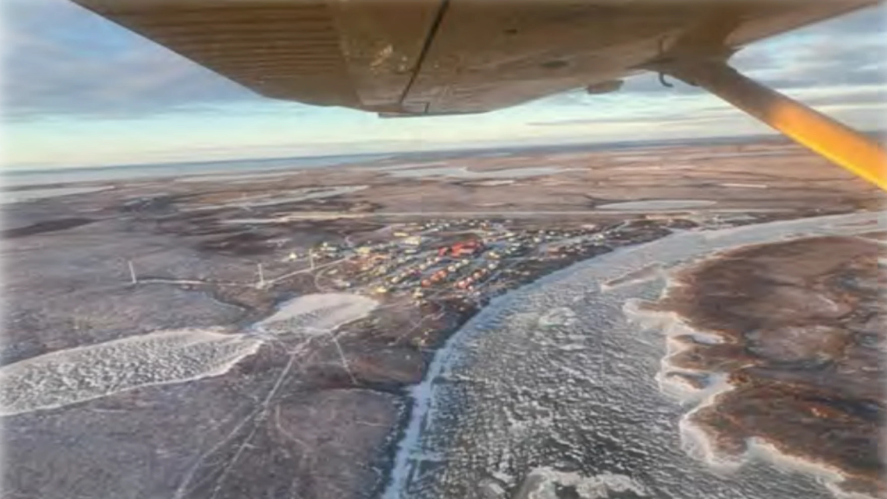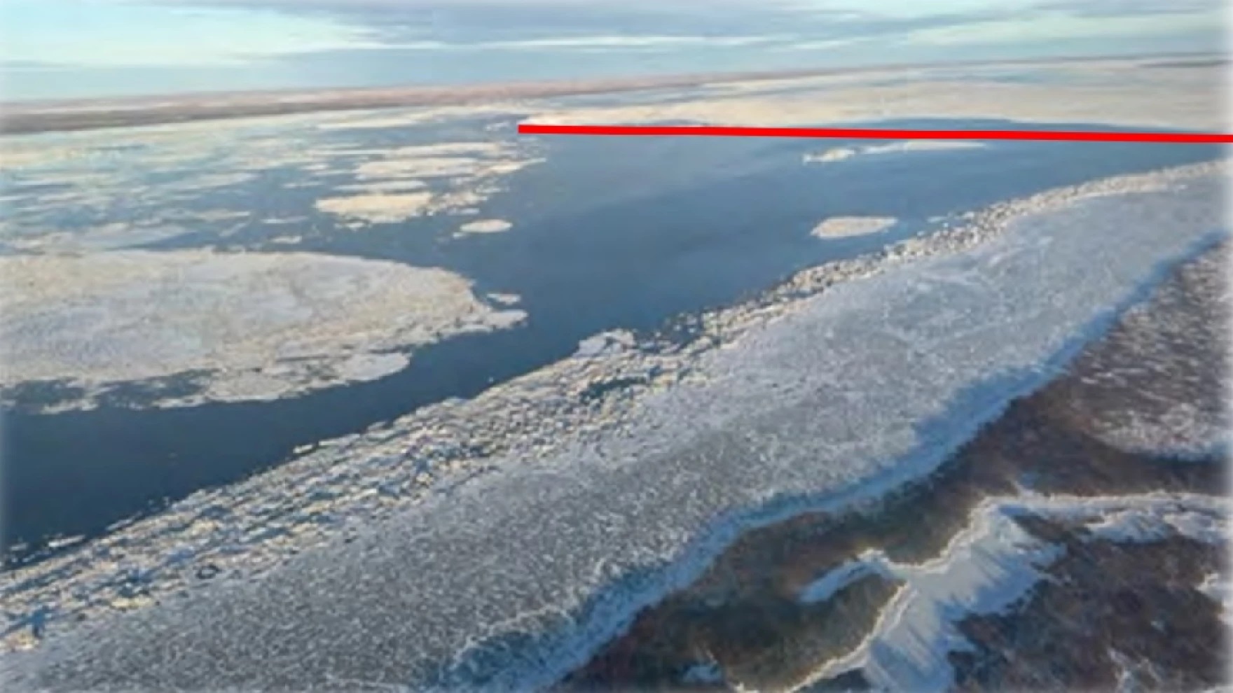
Bethel Search and Rescue is recommending against all travel on the Kuskokwim River due to open water and thin ice, after the group completed its annual aerial freeze-up survey of the Kuskokwim over the weekend.
For the past several years, member Mark Leary said BSAR has made a Nov. 18 survey of area waterways.
“It’s the same day every year so that we can look back and compare where we’re at from year to year with freeze-up,” Leary said.
The flight covered the area west of Bethel to the tundra villages of Atmautluak, Kasigluk, and Nunapitchuk, then followed the Johnson River to the Kuskowkim River. The crew also flew to a spot roughly eight miles below the Johnson River where the edge of the freeze-up ice was observed, and flew upriver as far as Aniak.

One purpose of the aerial survey is to locate the edge of the ice on the lower Kuskokwim River. The other purpose of the aerial survey is to identify open holes and areas with thin ice. Compared to last year, the BSAR report said that the river right around Bethel is freezing more quickly, but it’s still not safe.
“There are some areas of concern yet, though. Right between Oscarville and Napaskiak was a very large open area of water that on [Nov. 16] was still wide open,” Leary said. “By the time we flew on [Nov. 18], it had a very thin layer of ice on it with still some open spots.”
In addition to a large zone of open water and thin ice in front of and upstream of Kwethluk, the aerial survey noted other areas of concern upriver from Bethel.
“There is open water and thin ice on the Kuskokwim side of the lower end of Church Slough,” Leary said.
Other areas of concern observed in the aerial survey include:
- The main channel of the Kuskokwim River is very rough from the Johnson River up to just below Napakiak.
- The lower end of Straight Slough has a large area of thin ice that has just recently frozen, and there are at least two small open holes.
- There are at least three large holes in the area of the upper end of Kuskokuak Slough and the main channel toward both Akiak and Akiachak.
- Numerous large open water areas were observed between Akiak and Tuluksak, with at least one bank-to-bank.
- Numerous large open water areas were observed between Tuluksak and Kalskag, with at least two bank-to-bank.
- Hundreds of small open holes scattered throughout the rough ice were observed between Kalskag and Aniak.
While BSAR advises against all main river travel, the aerial survey observed active ice fishing up and down the river.
“Every community that we flew by on (Nov. 18), there were people out on the ice nearby the villages,” Leary said. “By going out daily to manaq or check their net, they’re observing the ice gradually thickening. And then they help determine when it becomes safe to start stretching out the trails and connecting those communities.”
With the completion of the aerial survey, crews will now have a much better idea of where to focus their efforts when it comes to marking danger areas as soon as the Kuskokwim becomes safe for travel.
“It’s priority one, (as) soon as we can after freeze-up, get out there and mark the open water,” Leary said.
The areas will likely be marked with willow branches and reflective tape.
As winter travel along the Kuskokwim River picks up, BSAR recommends traveling with an ice pick, both to check areas of concern and for self-rescue. They also say not to trust a single snowmachine or ATV track unless made by someone knowledgeable about the river, to beware of grassy areas that take longer to freeze, and to always travel sober.


