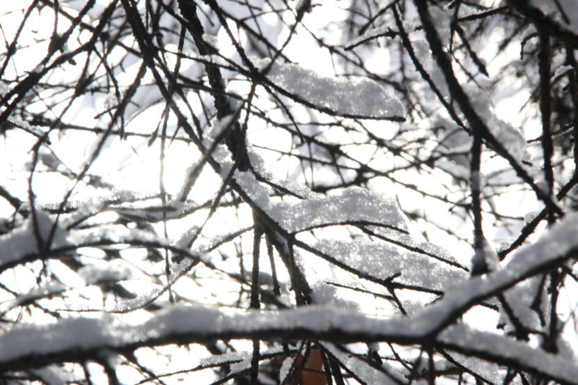
Last week, Juneau saw its first snow before Fairbanks for the first time in some 70 years. With the exception of the Southern Kenai Peninsula and Southeast Alaska, the entire state is below normal for snow — from Anchorage to Fairbanks to Barrow.
That’s leaving a lot of Alaskans wondering, is this a sign of what’s to come?
Brian Brettschneider is a climatologist in Anchorage who closely tracks Alaska climate data and trends. Alaska’s Energy Desk is checking in with him regularly as part of the segment, Ask A Climatologist.
Brettschneider told me that the late snow doesn’t tell us much about what’s to come. In fact, you shouldn’t believe anyone who tells you they know what kind of snow year it’s going to be.
Brian: We can paint with broad brushes that we think it’s going to be a big precipitation winter, or we think it might be a low precipitation winter. But the shades of gray on that continuum are so large, that I’d really be hesitant — and I think most climate scientists would — to say one way or the other.
Rachel: So we can’t predict snow with any kind of confidence. Can we say anything about temperature?
Brian: Well, globally we’ve had month after month after month of record warm temperatures. Here in Alaska, we’re on track for by far our warmest year on record. So we would expect, given no other changes in atmospheric conditions, that we would continue well above normal. Now, we’ll throw a little caveat in there, and that is, NOAA has re-issued their La Nina watch. And typically, when there’s a La Nina, temperatures in Alaska trend toward the cooler side. So, if that does occur, we might expect some lower temperatures. But that’s far from certain.
Rachel: And if we do have a warm winter, does that tell us anything about the amount of snow we might see?
Brian: If you’re in a really marginal snow area, like Juneau or a lot of places in Southeast, where the difference between 30 and 35 degrees is the difference between snow and rain. Here in Anchorage and in much of mainland Alaska, the difference between, say, 25 and 30 degrees isn’t a snow or rain deciding line. It can be a more wet snow and or a more dry snow.
When temperatures are warmer, the air actually can hold a little bit more moisture, so in some cases you end up with more snow with a little bit warmer temperatures. But that doesn’t necessarily play out everywhere.
Rachel: So Alaskans who are wondering what the winter is going to look like are just going to have to wait and see?
Brian: I tell everyone who asks me — and a lot of people do ask me — “What’s the snow going to be like?” I won’t quite say, “Your guess is as good as mine.” But the probabilities are so difficult, it’s really kind of a fool’s errand to state one way or the other.
Do you have a climate question for Brian? Email akenergydesk@alaskapublic.org.
Rachel Waldholz covers energy and the environment for Alaska's Energy Desk, a collaboration between Alaska Public Media, KTOO in Juneau and KUCB in Unalaska. Before coming to Anchorage, she spent two years reporting for Raven Radio in Sitka. Rachel studied documentary production at the UC Berkeley Graduate School of Journalism, and her short film, A Confused War won several awards. Her work has appeared on Morning Edition, All Things Considered, and Marketplace, among other outlets.
rwaldholz (at) alaskapublic (dot) org | 907.550.8432 | About Rachel


