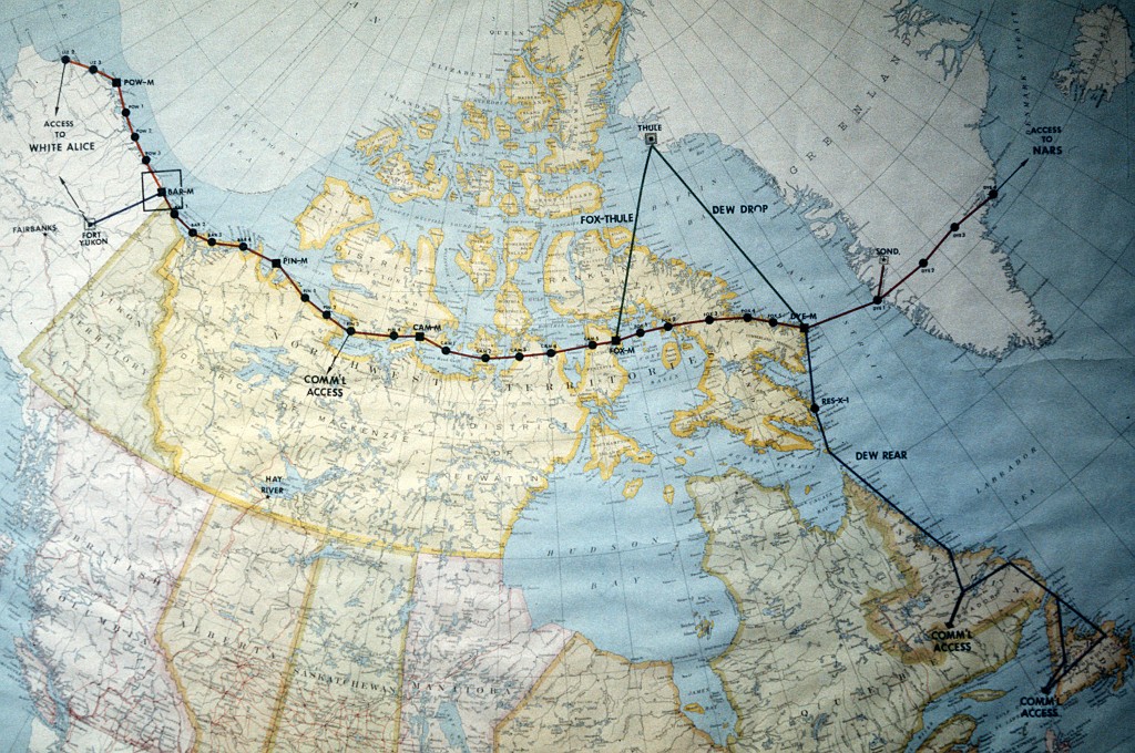
JBER archaeologist Karlene Leeper speaks about the history of Air Force radar infrastructure in Alaska – how they were distributed across the landscape and how they have changed. Radar and communications systems in Alaska required updating after World War II. Dozens of small installations were constructed across remote Alaska. As technology changed, many of the sites became obsolete and their footprints, though extensive across the landscape, were greatly reduced.

SPEAKER
- Karlene Leeper, archaeologist and cultural program resources manager, 611th Air Support Group, Joint Base Elmendorf-Richardson
BROADCAST ON KSKA: Tuesday, November 25, 2014 at 2:00 p.m. (Alaska time)
REPEAT BROADCAST: Tuesday, November 25, 2014 at 9:00 p.m. (Alaska time)
RECORDED: Thursday, November 20, at the Anchorage Museum
HOST: Cook Inlet Historical Society
About
Addressing Alaskans features local lectures and forums recorded at public events taking place in Southcentral Alaska. A variety of local organizations host speakers addressing topics that matter to Alaskans. To let us know about an upcoming community event that you would like to hear on Addressing Alaskans, please contact us with details.
SUBSCRIBE: Get Addressing Alaskans updates automatically via email, RSS or podcasts.
Audio to be posted following broadcast.


